Washington - May 15, 2004
These pages posted on September 14 & 15, 2004: The pages that follow utilize most of the pictures from the trip to Oregon in May 2004. The dates below this paragraph are the dates the photos were taken on the trip to Oregon and Washington. THREE new pictures are down near the bottom of the page. They were taken on September 19, 2004 at Mount St. Helens.
May 15, 2004 was a day of flying from Fort Lauderdale to Seattle. It was a rainy day as many are in this area of the Pacific Northwest. It was a long day of TWO airplanes and driving from SeaTac airport down to Kelso, Washington via Mount St. Helens.
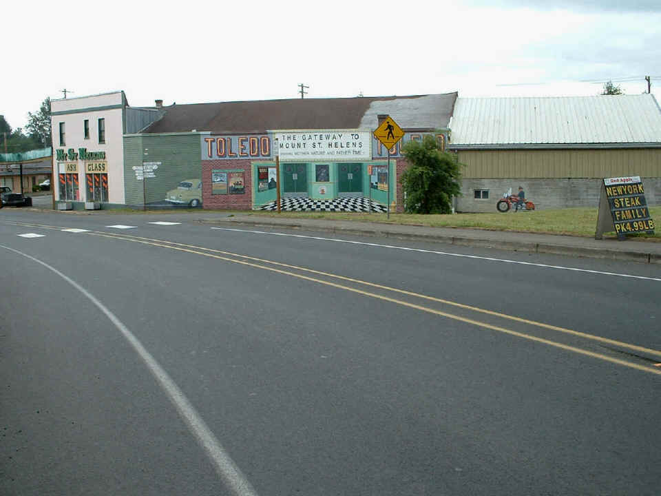
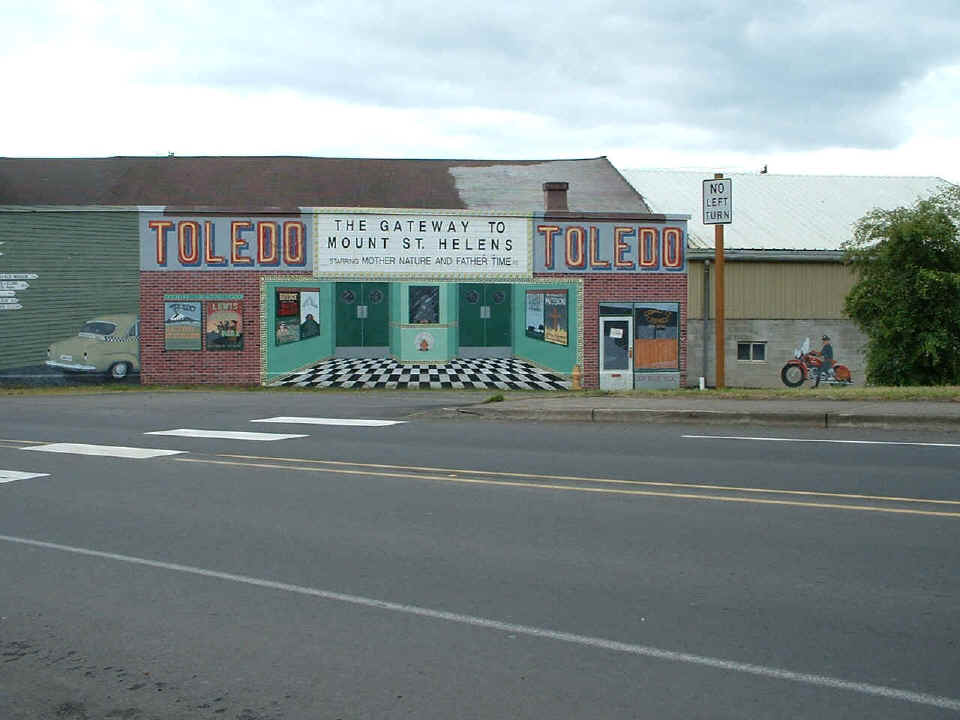
This mural is in the little town of Toledo, Washington on the way from
Interstate 5 to Mount St. Helens. This neat mural is the first thing you see coming
into the "downtown area".
The "NO LEFT TURN" sign is real, the "movie house" is part
of the illusion, as is the motorcycle cop and the car parked in the "alley" next
to the movie theatre.
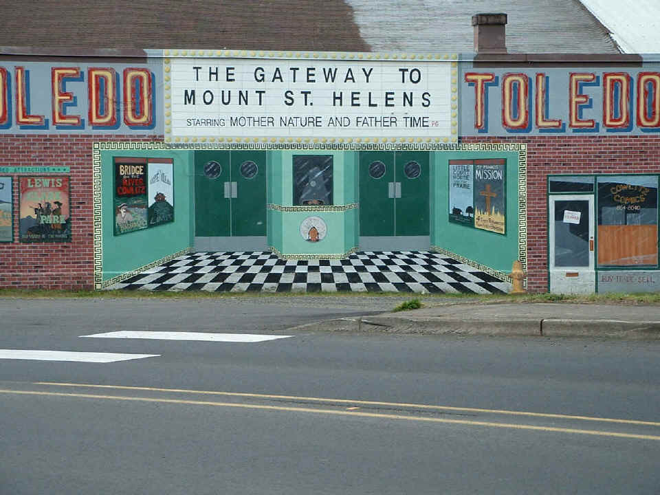
Even the "yellow fire hydrant" is part of the illusion here.
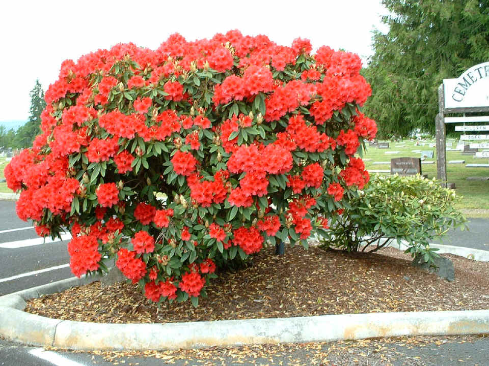
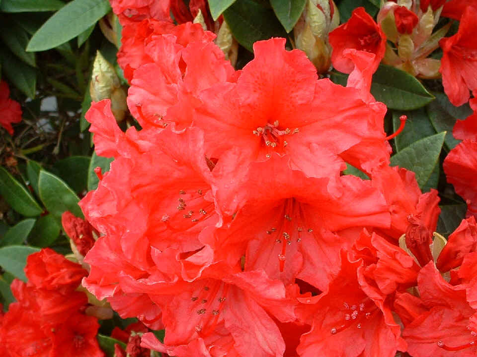
Just up the street to the right of the mural in Toledo is a little bit of
nature's springtime color.
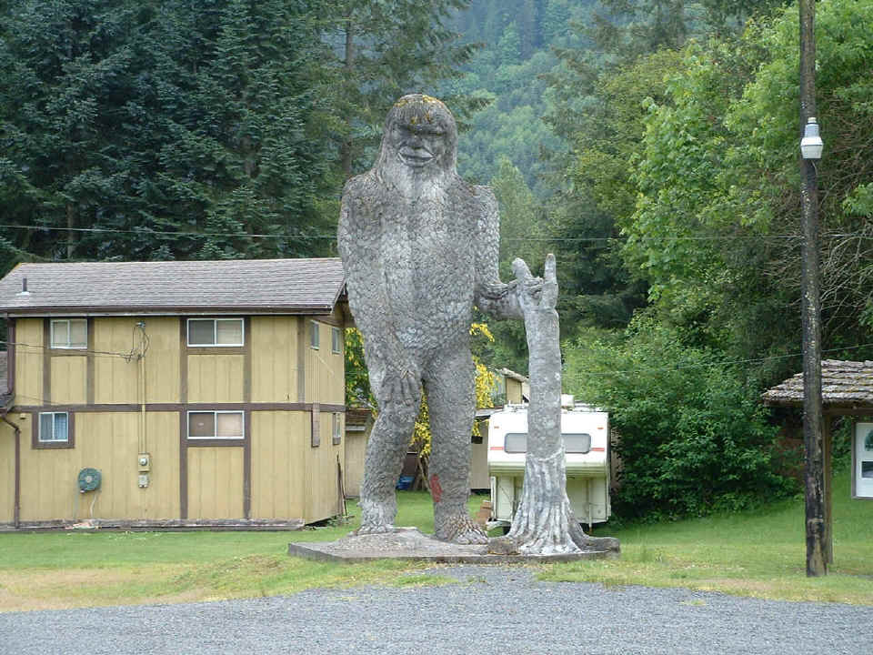
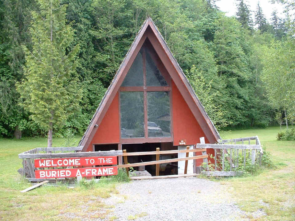
Heading toward Mount St. Helens on Washington state highway 504 (Spirit Lake
Highway) finds this tourist stop with a "big foot" standing right next to a
buried "A-frame" house that was finished right before the eruption, but never
lived in by anyone.
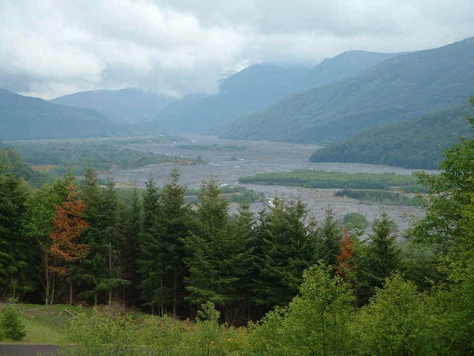
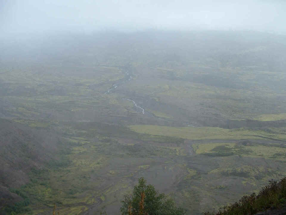
Further up the road, there is a visitor's welcome station with this scenic view
right behind it. This is the North Fork of the Toutle River with a large debris
field from the mountain that has come down this valley. You can see the clouds up
the valley which completely shrouded the view of the volcano itself that day. Sadly,
the clouds never parted, and I did not get a picture of what remains of the mountain.
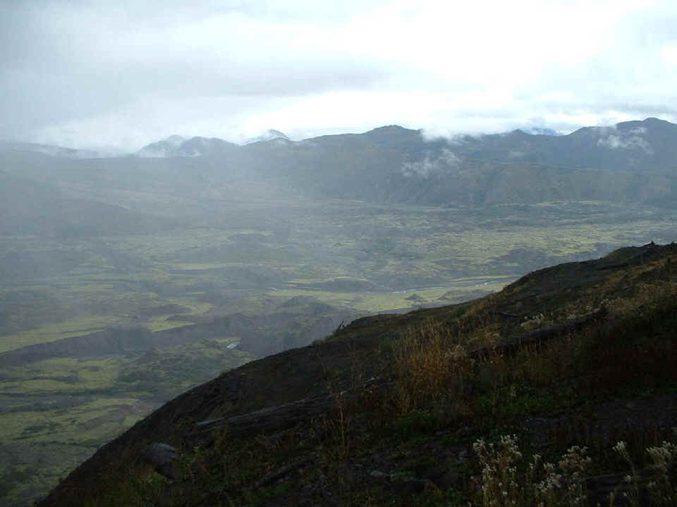
September 19, 2004 entry: I was on another
trip to Washington state and wanted to try my luck again with Mount St. Helens. Last
time, the fog layer was at the viewing site, and nothing was visible. This time, the
fog layer was around the mountain. Here are three photos that show some of the area
between the viewing area and the volcano. The valley floor was raised about 150 feet
in the center of this photo. The beginning of white near the top of this photo is
the lowest level of the snow on the mountain before the fog blocks the view of the peak.
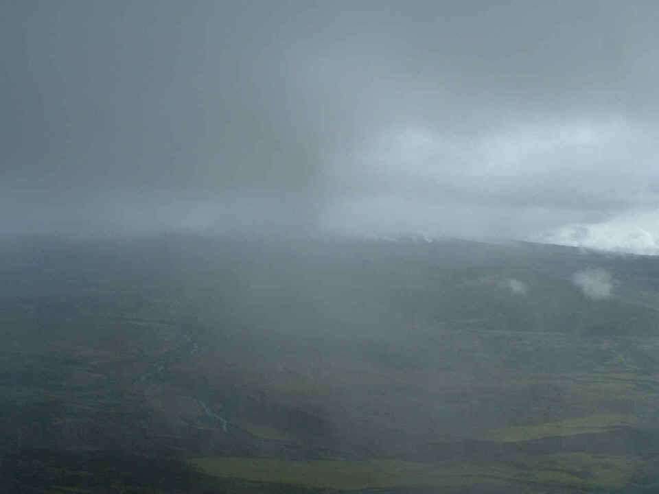
The photo below is looking just to the right of the mountain and downstream for
the landslide, etc. I had hoped when this clear air came in, it would bring the
mountain into view, but no such luck.
This last shot shows just a bit more snow field on the mountain and gives a
good idea of how the clouds roll in around the mountain.
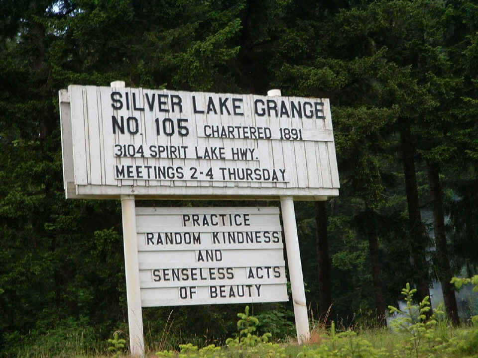
On the way down Washington route 504 at the village of Silver Lake, this sign
was alongside the roadway.
This was Saturday, May 15th. Let's go on to Sunday, May 16th.
| CLICK for Washington/Oregon page 2 | Return to HOME PAGE |