Wendell Folks Alaska Trip - Page 27.
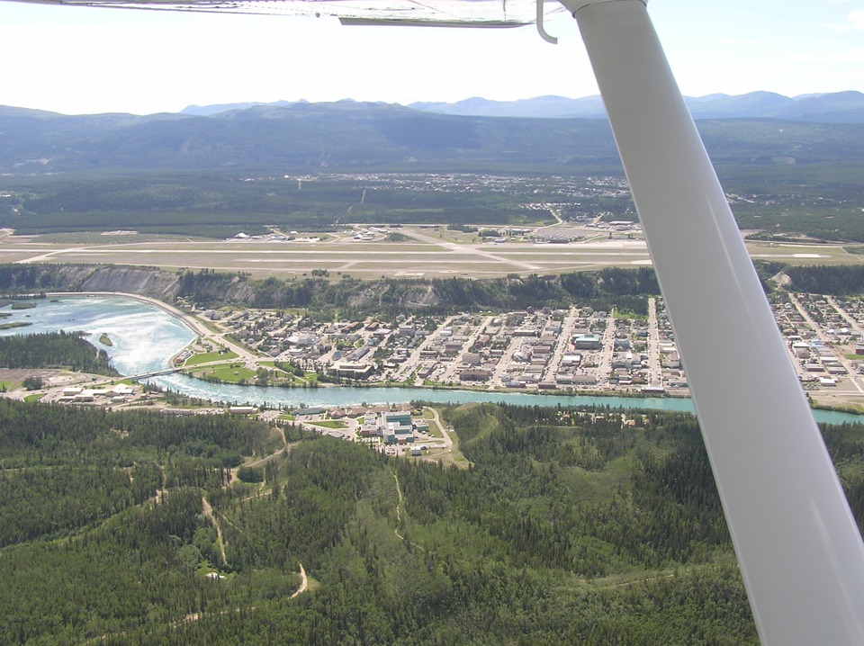
July 23, 2007: Day 4 continues as they fly
the downwind leg of the pattern for Whitehorse Airport. The town is down on the
Yukon River plain. The Alaska Highway is on the far side of the airport.
Wendell got a good shot of the final approach to the runway at Whitehorse
Airport. There is a reflection from the inside of the windshield.
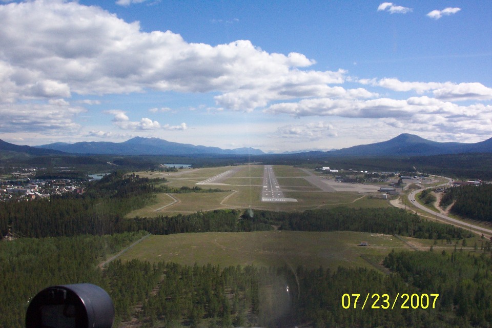
The airport terminal building and the control tower are clearly visible on the
west side of the runway. Notice the airplane on amphibious floats just ahead of the
wing strut at the left side of this photo. The time stamp on this photo indicates
4:15 PM Pacific Time for the arrival.
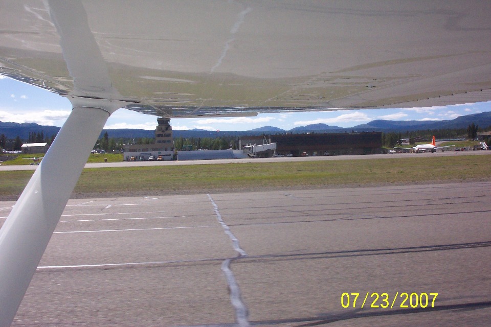
Terry got this photo after the airplane was parked just a few minutes later on
the ramp. That window with the circle around it would turn out to be their hotel
room for the evening.
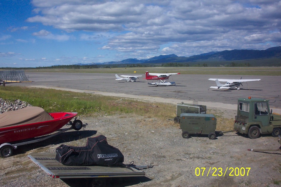
Here is a photo taken from that hotel room window showing the flight line and
Cessna N8438S tied down with the other planes. This view is looking in a northeast
direction.
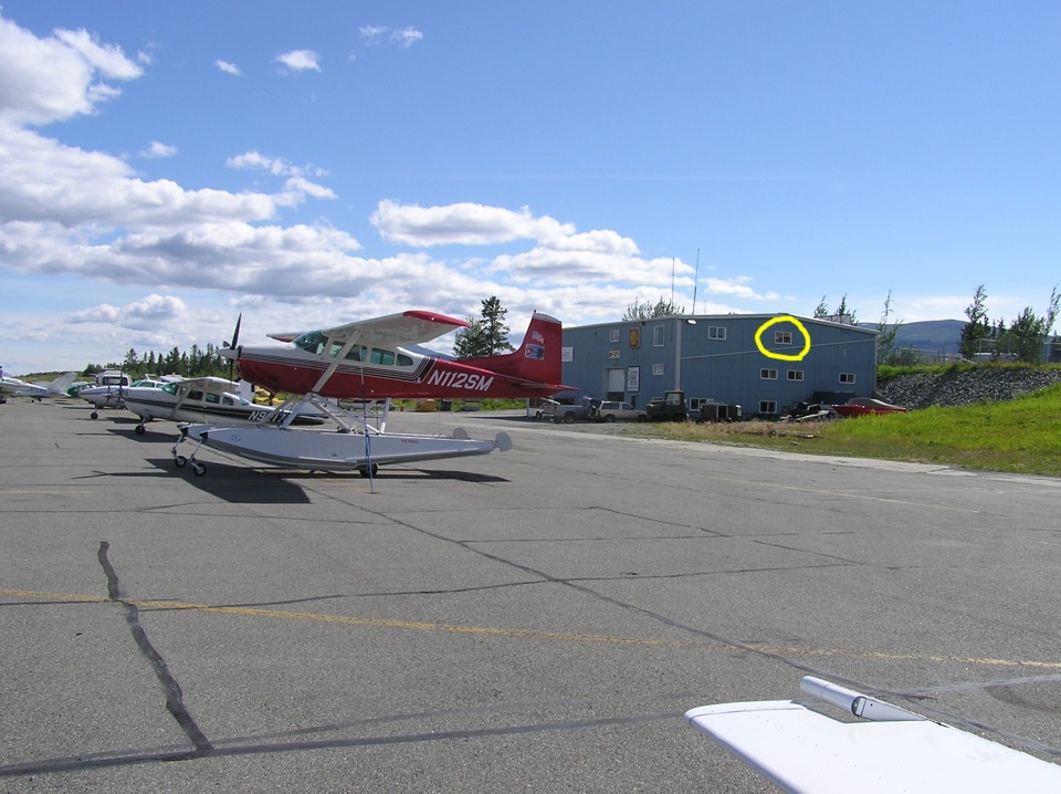
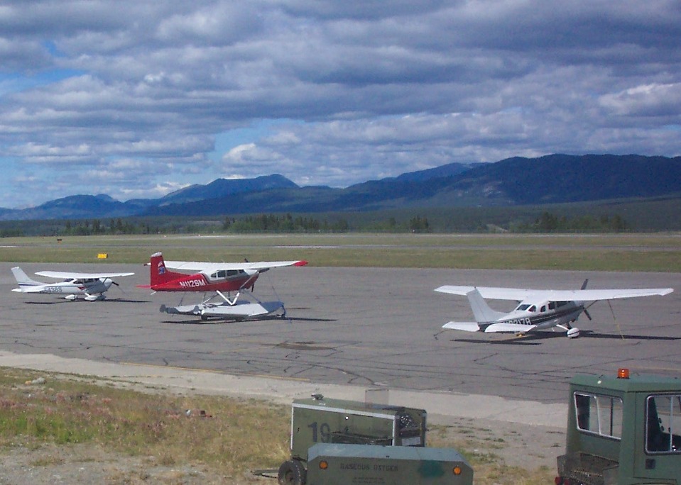
I did some cropping from Wendell's wide shot to get this detailed section of
the photo showing the registration numbers on the two other US-registered airplanes parked
next to Wendell's airplane.
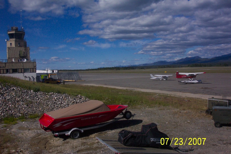
A little turn of the camera to the left shows the terminal building and control
tower just north of the general aviation parking area.
When you head out for supper after flying a long day, be sure to check out the
ultimate wind sock, uh, indicator. This retired DC-3 mounted on a steel post serves
as the wind weather vane pointing the way to take off into the wind.

| Alaska Trip - PAGE 28 | ALASKA MENU | MAIN MENU |